
Hammer: Truck GPS & Maps
TruckersReport.com
Downloads
1,000,000+
Version
Latest
Click to download now, finish the installation quickly, and directly unlock the all-round experience
Screenshots
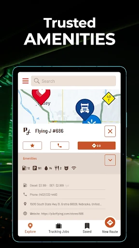
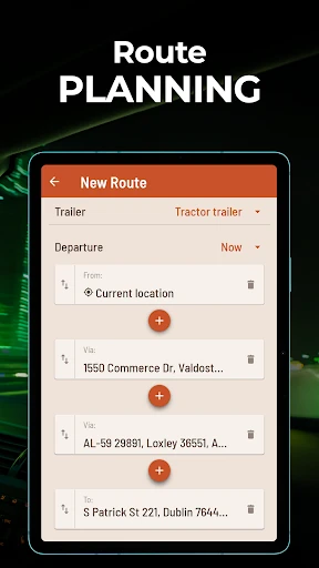
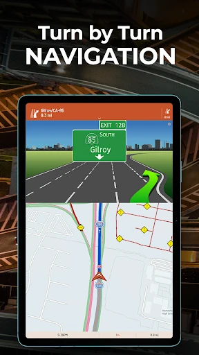
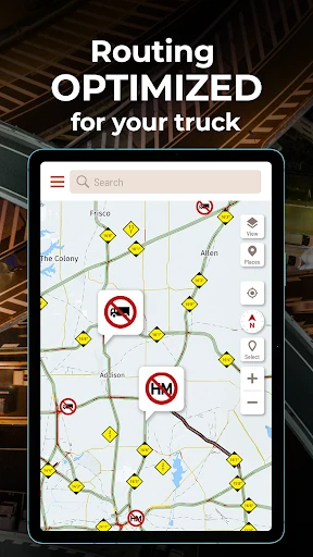
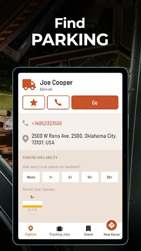
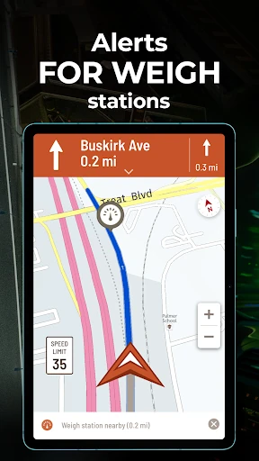
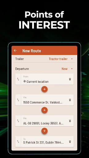
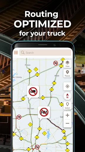
Click to download now, finish the installation quickly, and directly unlock the all-round experience
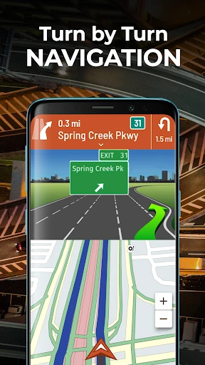
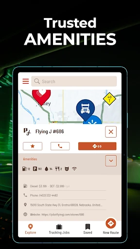
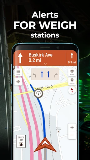
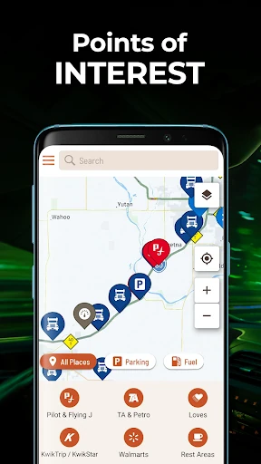
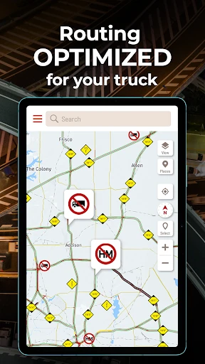
Hammer: Truck GPS & Maps is a navigation app for commercial drivers who need routes that account for vehicle restrictions rather than treating every vehicle like a car. It supports truck profiles using details such as height, weight, length, axle count and cargo type, then provides turn-by-turn directions with spoken guidance and lane information.
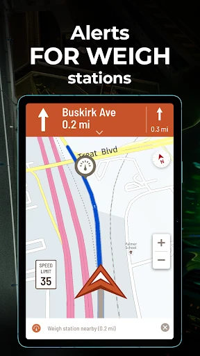
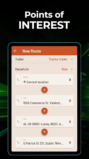
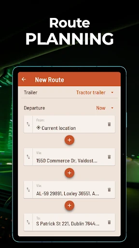
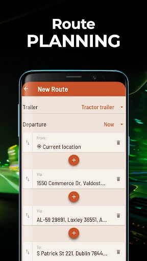
The app is suited to long-haul drivers and fleet workers travelling through the United States, Canada and Mexico. It can help plan routes with multiple stops and custom waypoints, while offering map views designed for use in the cab, including landscape and satellite views. Traffic, weather, accidents and road closures can inform rerouting when conditions change.
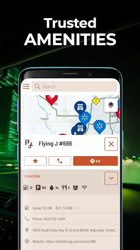
Hammer is a practical fit for drivers who want truck-aware routing and road-service information in one app. Offline map access is useful on routes with weak coverage, while dark mode and spoken directions support driving in lower-light conditions. The app is less relevant to ordinary car navigation, where its commercial-vehicle settings may add unnecessary detail.
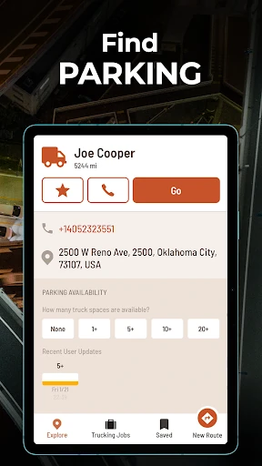
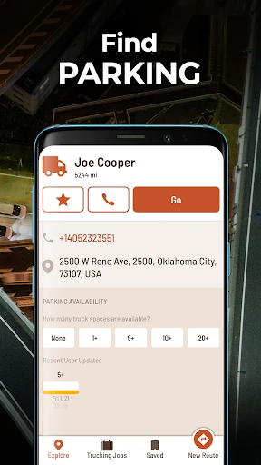
Developed by TruckersReport.com, Hammer has recorded 1,000,000+ installs and a rating of 4.69 out of 5 from 64,307 ratings. That gives it a substantial user base among the truck-navigation audience, with its main point of distinction being the focus on vehicle dimensions, restrictions and truck-specific stops.